Public Documents
Floodmap Project Status
Floodmap Resources
Site Map
Frequently Asked Questions (FAQs)
Contact Us
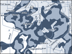
Flood zones show the potential of an area being flooded by a 100-year and 500-year rainfall event. This map layer is from the Federal Emergency Management Agency (FEMA).