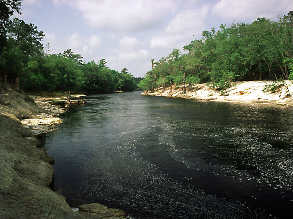
Suwannee River: The Suwannee River flows for approx 225 miles from the Okefenokee Swamp in South Georgia to the Gulf of Mexico in Florida where it empties near the town of Suwannee - about 15 miles above Cedar Key.
The character of the river changes greatly in its meandering path from the swamp to the Gulf.
The river starts out narrow and shallow and gradually gets wider and deeper on its journey. It flows through many diverse plant communities, from tupelo and cypress swamp to coastal marsh.
Click on photo to enlarge. (Photo courtesy SRWMD)
|