The documents are in Portable Document Format (PDF) to retain the original format. To view or print these documents, you must use the Adobe Acrobat Reader. The Adobe Acrobat Reader is free and available directly from Adobe's web site with full installation instructions.
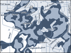
Flood zones show the potential of an area being flooded by a 100-year and 500-year rainfall event. This map layer is from the Federal Emergency Management Agency (FEMA).